Millions of homes recorded in the 1901 census have now been plotted on historical georeferenced maps by TheGenealogist. Family history or house historians can now explore the areas where their ancestors lived and see how far it was for them to walk to the shops, visit their local pub, travel to work or take a train to another city or town.
Following on from their recent releases of the 1939 Register and the 1911 Census records linked to contemporary and modern map layers on TheGenealogist’s Map Explorer™, now the same innovative features have been applied to the 1901 Census of England and Wales.
With this release Diamond subscribers are able to pinpoint where their ancestors’ properties were at the time of the census count and so metaphorically walk the streets from the comfort of their home. Alternatively, users may access TheGenealogist on their mobile phone to physically discover the neighbourhood while on the move.
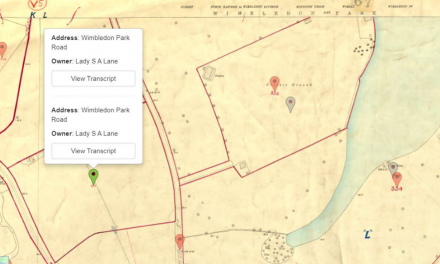
This key tool can make the lives of the family or house historian easier than ever to research census records for buildings and the newly linked 1901 census complements the rich georeferenced Lloyd George Domesday Survey and Tithe records that are already available on TheGenealogist’s Map Explorer™ as well as the 1939 Register and the 1911 Census records recently added to this website.
The majority of the London area and other towns and cities are viewable down to the property level, while other parts of the country will identify down to the parish, road or street.
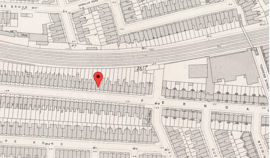
With this new release, viewing a household record from the 1901 census will now show a map, locating your ancestors’ house. Clicking on this map loads the location in Map Explorer™, enabling you to explore the area and see the records of neighbouring properties.


